941.743.1200 18500 Murdock Circle Port Charlotte, FL 33948
Storm & Recovery
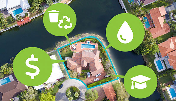
Find information about elected officials, county services, garbage pick-up schedules, and more for properties in Charlotte County.
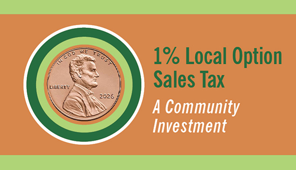
Learn about projects funded by the 1% local option sales tax.
The county administrator has the authority and responsibility to manage the day-to-day operations of the county.
Take your business to a new altitude with our pro-business attitude.
This posting is no longer available.
Questions? Issues?